
Portage Neighbors by Public Source
A block lookup works in layers. GIS defines which parcels are near the starting address. XSoft supplies public facts for each selected parcel. Recorder records establish legal parties, planning records explain projects, and older directories add past context. None of these layers is a verified roll of current households.
| Source | What It Shows About a Block | Access |
|---|---|---|
| Porter County GIS | Parcels, roads, buildings, lots, condos and boundaries | Public map and REST layers; 24-hour update cycle |
| XSoft property cards | Owner, mailing and situs address, legal description, transfers | Free current portal; protected-person restrictions |
| Recorder index | Legal parties, deeds, dates, instruments and descriptions | Free index; paid images; older records at office |
| Portage planning | Subdivisions, petitions, projects, applicants and address actions | Public agendas and packets |
| Voter records | Individual registration or approved precinct products | No public all-voters-on-a-block search |
| Library collections | Past occupants, schools, clubs and local history | Irregular directory coverage; some in-library access |
Owner and occupant are not synonyms. A mailing address may differ from the parcel's situs, which means the physical property address. A trust or company can hold title. A renter or family member may never appear in the property roll. Label each fact by source and date.
Buffer Portage Neighbor Parcels
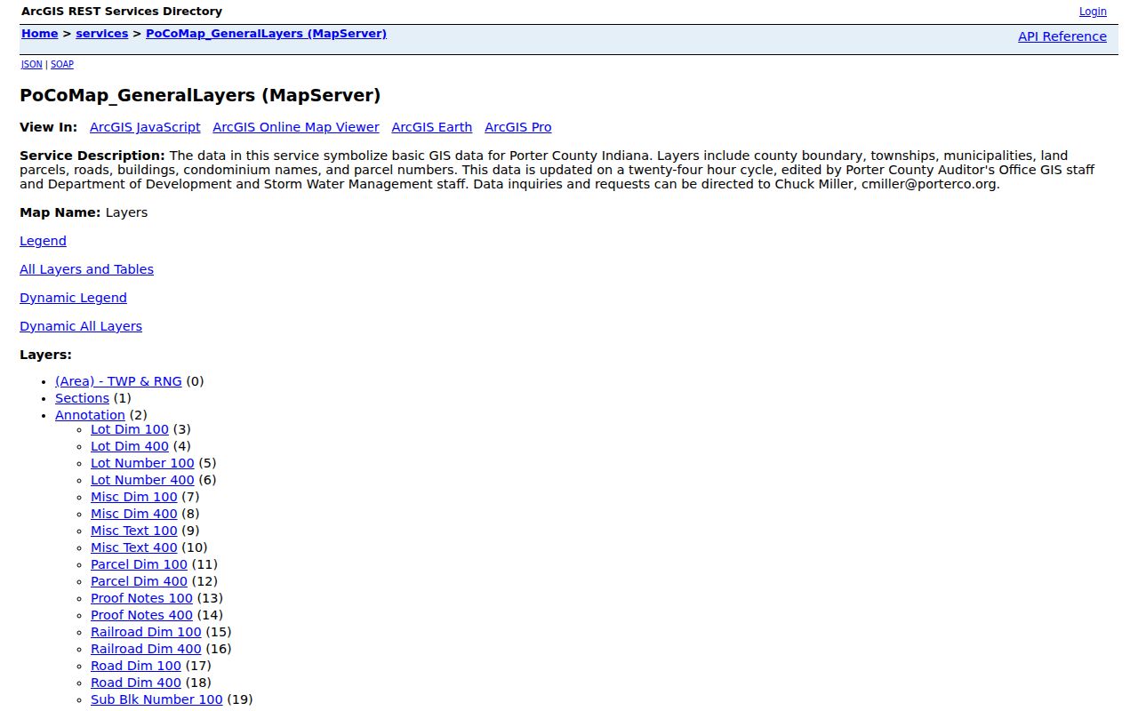
The most useful local feature is a repeatable radius rather than a hand-picked set of lots. Porter County's GIS layers cover parcel geometry, buildings, roads, municipal boundaries, townships, sections, lot notes, and condominium names. Official county guides describe a 300-foot buffer and spreadsheet export.
- Search the starting address in the XSoft map or county GIS and select the target parcel.
- Open the four-stack control, choose Show Buffer Options, select 300 feet, and continue.
- Open the parcel-tab arrow and export the selected parcel set to XLSX. Some parcels may return no data.
- Copy each parcel number into XSoft to review its public property card. Keep situs, mailing, and ownership fields distinct.
- Use the recorder only when a deed or prior legal party matters. Do not turn the geographic set into a claimed household roster.
The Porter County GIS service lists the public layers that support this method. Its captured screen below helps identify the official parcel and neighbor map source.
GIS tells which lots touch or fall near another lot. It does not prove that owners know one another or live there. For a whole named road rather than the immediate radius, use the Portage Street Directory workflow.
Check Portage Neighbor Ownership
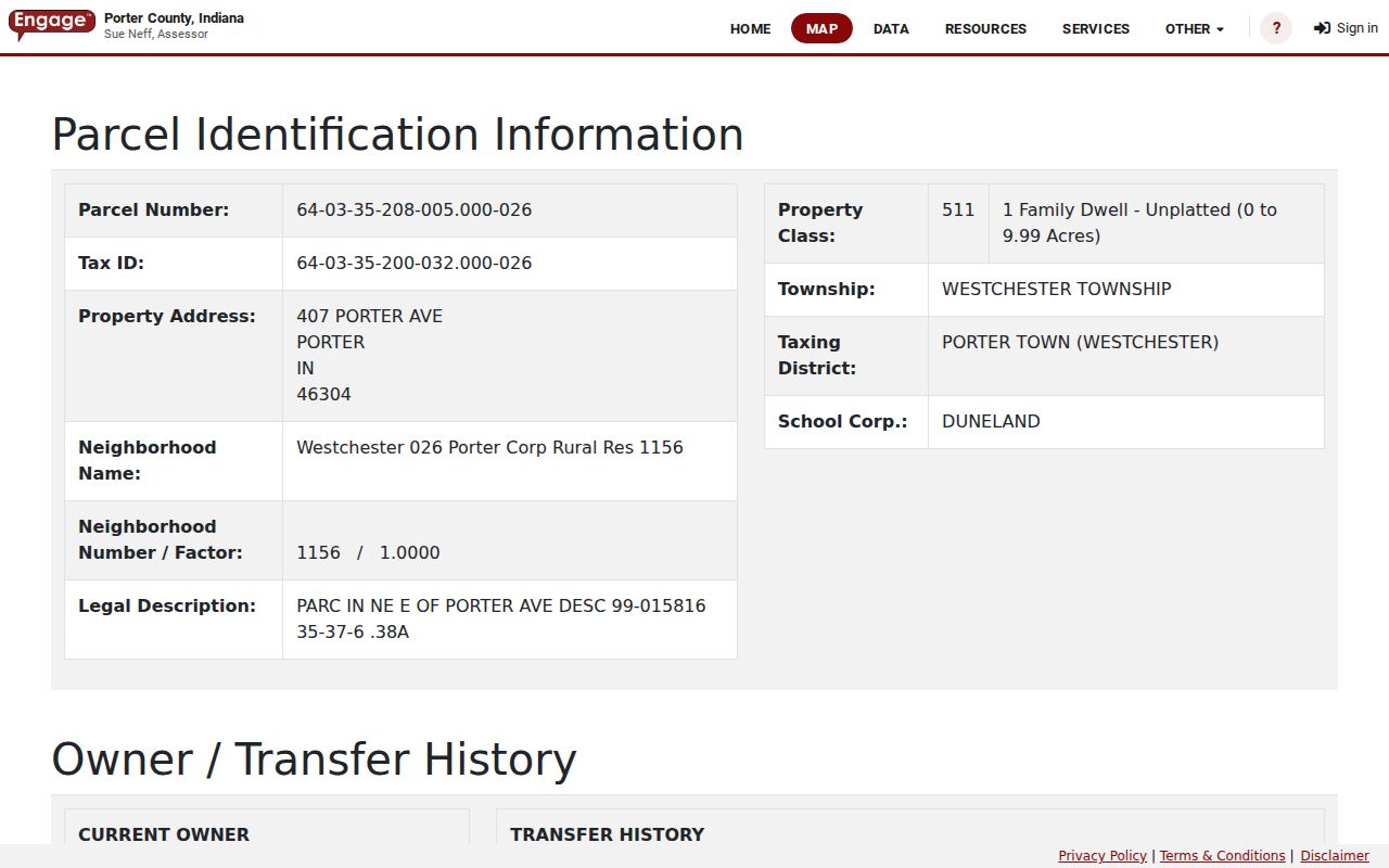
Once the radius is fixed, inspect the XSoft card for each parcel separately. Useful fields include parcel or tax ID, situs, owner and mailing address, legal description, district, property class, transfers, sales, valuation, land, improvements, sketch, taxes, and documents. Preserve the parcel number because street labels and mailing cities can mislead.
The inspected sample parcel was captured only to show the available fields, not to single out a resident. The official parcel-detail view demonstrates how a selected lot connects the map to the assessor card.
Compare mailing and situs fields before making any owner-occupancy inference. A deed can verify the legal party and legal description, but even a deed names transaction parties rather than all people present in a home.
Note: Porter County says GIS data updates every 24 hours, yet recording and assessor processing can still create timing differences.
Portage Neighbor Geography Is Layered
A Portage postal label does not always prove incorporated Portage. Current property search districts distinguish PORTAGE CITY-PORTAGE TWP, PORTAGE CITY-WESTCHESTER TWP, and PORTAGE TOWNSHIP. Nearby Ogden Dunes and South Haven examples can share postal context while falling under different municipal or township boundaries.
The assessor's neighborhood list is unusually rich. It includes Birdland, Brookside, Central Park, Community Acres, Crisman Cove, Dune Trail Hollow, Garyton, Marina Shores, Providence Manor, Rivertrace, Swanson Trails, Timbercreek Estates, Viking Village, and many more coded options. Those labels guide a search toward the right plat or planning packet. They are assessment groupings, not proof of an active association or private member list.
Portage Community Directory Layer
Public community records add a civic view after parcel work. Research found no official citywide association directory and no public roster of neighborhood members. Use project, meeting, and historical channels without scraping private lists.
| Community Source | Useful Block Context | Directory Status |
|---|---|---|
| Redevelopment Commission | Rivertrace, Providence, Bauer Farm, Sandy Trails, Swanson Trails and public projects | Meetings and comment records; no member directory found |
| Planning Commission | Petitions, subdivisions, address assignments and applicants | Agenda packets by date and topic |
| Portage Community Historical Society | Local history, newsletters, development chronology | No searchable member roster found |
| PCPLS Genealogy Center | Directories, yearbooks, newspapers and local histories | Library and controlled database access |
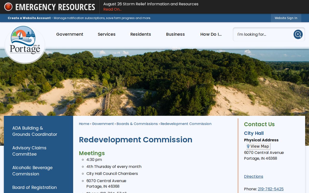
The Redevelopment Commission page pictured below shows the official civic-project route. Public comments may name speakers or affected parties, but attendance at one meeting does not establish where a person lives.
For a congregation, block watch, or private association, ask the group for its contact policy. A private roster does not become public merely because it concerns a Portage neighborhood.
Portage Neighbors and Voter Data
Indiana's ordinary voter lookup is name, county, and birth-date oriented. It does not offer a public command to show everyone on a block. A lawful individual match may confirm registration, polling, or precinct context. Full voter products follow State Form VRG-24 and Porter County Elections procedures, with requester, product, fee, and use restrictions.
Even an approved county, township, precinct, or walking-list product remains incomplete for neighbor identification. Address Confidentiality Program participants and protected voter fields are withheld. Public precinct results are totals, not household lists. Use voter data to verify one person's registration or understand election geography, never to fill gaps in a parcel map.
Read Portage Block Change
Portage Planning, the Board of Zoning Appeals, Development Review Committee, and Redevelopment Commission can explain why a block is changing. Agenda searches may reveal subdivision names, project addresses, petitions, public applicants, and representative names. Building permits and code files can add address-specific construction or maintenance facts, but research found no complete public Portage permit or code-case database.
For a missing file, submit a narrow Indiana Access to Public Records Act request to the city. Give the exact address, date span, department, permit or inspection type, and known project name. Ask for an existing record, not a newly compiled list of nearby people.
Porter County's May 2025 GIS feature and daily map updates make parcel work timely, while the 2026 Portage comprehensive-plan process may change how areas are described. Save the access date with map exports and agenda packets.
Official Portage Neighbor Records
Official and commercial sources answer different questions. County and city systems identify their custodian, field, and date. Commercial neighbor tools may combine property records, old directories, marketing data, and inferred associates without exposing the source date.
| Source Type | Strength | Limit |
|---|---|---|
| GIS and assessor | Defined parcels and current public owner fields | No complete occupant or relationship list |
| Recorder and planning | Legal parties, instruments, projects, public actions | Event-specific, not proof of current presence |
| Commercial category | May supply a broad lead | Stale addresses, same-name merges, unclear dates |
Start with the public record tied to the question. Check another custodian when identity matters. Do not republish a block roster merely because a tool can assemble one.
Privacy for Portage Neighbors
Public property data stops at an important boundary. It does not expose utility customers, delivery records, school-student files, private memberships, or all renters and family members. Indiana's Address Confidentiality Program gives qualifying people a substitute mailing address. Voter law protects program participants, and covered persons may seek property-record restrictions under IC 36-1-8.5.
Do not infer a hidden address from GIS, a deed, a relative's record, or an adjacent parcel. If a record is wrong, contact its custodian. A commercial privacy opt-out does not delete the original public deed or assessor card, since each system follows its own law.
Keep exported parcel lists private, discard them when the civic question is answered, and return to the official map whenever a boundary or ownership date may have changed. That practice reduces stale assumptions about nearby Portage properties.
Lawful use. Research Portage neighbors for civic interest, reconnection, or personal safety. Never use block records to watch, harass, intimidate, or harm anyone.