
Portage ZIP Coverage at a Glance
Official sources verified one standard Portage postal ZIP and one nearby ZIP that matters at the Portage Township edge. They did not verify an extra ZIP for incorporated Portage. The table therefore stays narrow instead of guessing from commercial boundary maps.
| ZIP | Local area | Post office | Directory note |
|---|---|---|---|
| 46368 | Portage city and Portage-area postal addresses | Portage Post Office, 2701 Willowcreek Road | Standard Portage ZIP; verify municipal limits separately. |
| 46385 | Valparaiso mailing area, including nearby South Haven and Portage Township edge examples | Valparaiso postal route; exact edge station not verified | Relevant to township research, but not an incorporated-Portage ZIP. |
Postal boundaries are designed for delivery. They can cross city and township lines. A Portage ZIP code directory should never turn every address carrying the same postal name into a claim of city residence.
Portage ZIP Code 46368
ZIP 46368 is tied to the Portage Post Office at 2701 Willowcreek Road, Portage, IN 46368-9998. The listed phone is 219-762-6571. That makes it the verified postal starting point for a Portage address, but exact delivery labels still need the USPS address tool.
The USPS Portage Post Office listing supplies the station details.
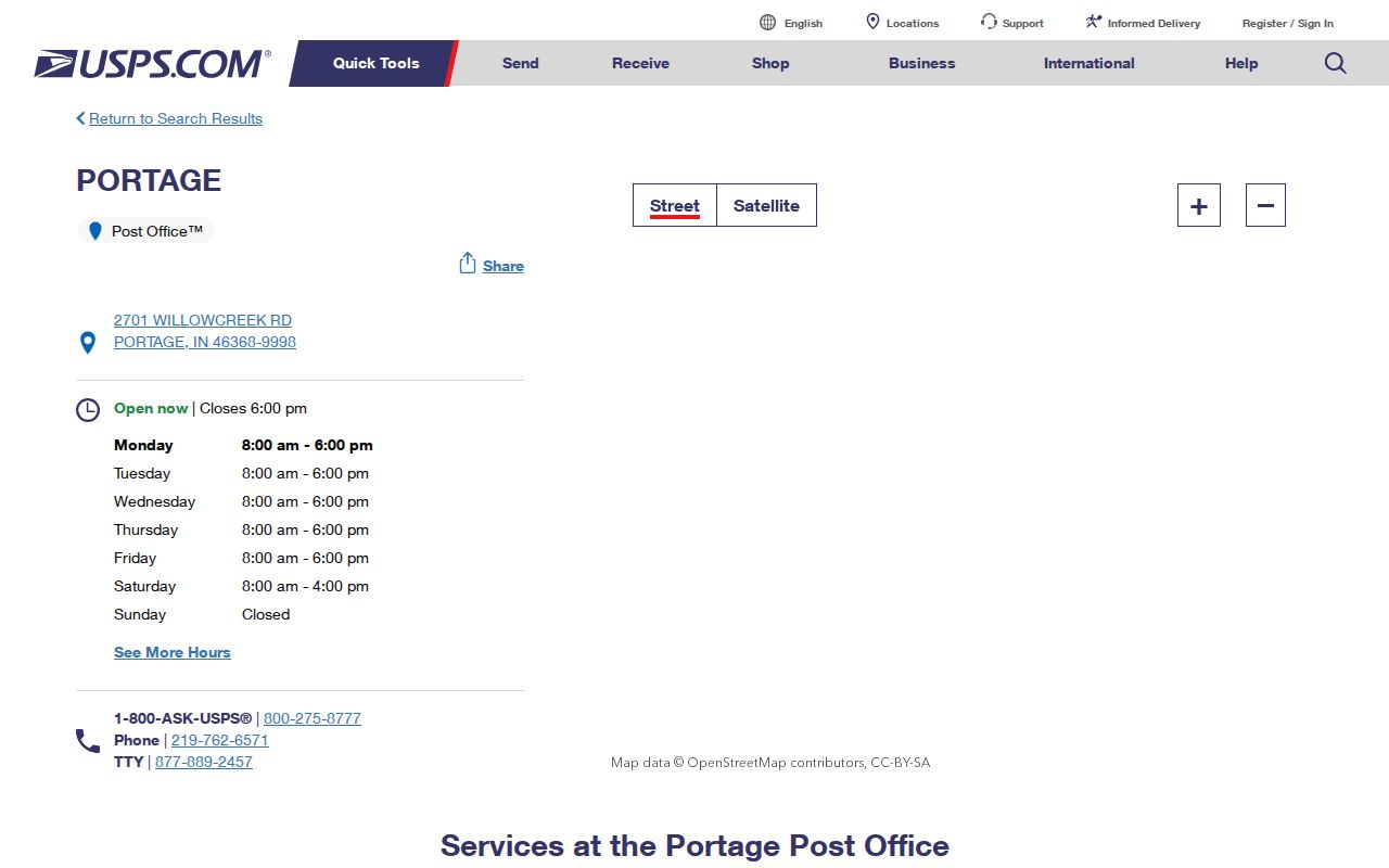
The station page anchors the verified ZIP to an official postal source rather than an inferred map boundary.
Why 46385 Appears Near Portage
ZIP 46385 belongs to Valparaiso mailing routes, yet South Haven and Portage Township edge material can carry that postal wording. That does not make every 46385 address part of Portage city. It does mean family and property searches near the edge should test Valparaiso, South Haven, and Portage Township labels.
Keep two fields in the research notes: the standardized postal city and ZIP from USPS, and the municipality or township from GIS and the tax roll. Older records may use a settlement or township name. Recorder legal descriptions remain more dependable than ZIP codes for a deed chain.
Boundary check. A mailing city is a delivery label, while incorporation and tax jurisdiction come from local government records.
Find Portage Records by ZIP
No verified official portal offers a button that lists every Portage resident within a ZIP. A careful ZIP code lookup narrows geography, then shifts to the record key each custodian accepts.
- Run the exact street, city, and state through USPS By Address. Save the standardized city and ZIP and note any multiple match.
- Search XSoft by address or parcel. Record the situs, mailing address, tax district, neighborhood, and parcel number.
- Open GIS and check the municipality, township, roads, and parcel boundary. No postal ZIP layer was documented in the county layer list.
- Use the legal description for deeds and the exact address for permits. Do not use ZIP as a substitute for either.
- If the search reaches one named road, continue with the Portage street directory workflow.
Indiana's public voter lookup is person and county oriented, not a public ZIP-wide roster. Fuller voter products have request rules, use limits, and protected fields. They should not be inferred from parcel or postal data.
Portage ZIP Lookup Fields
The official USPS tool offers three different questions. Choose the mode that matches what is known, and remember that a standardized result does not confirm that any person or business occupies the address.
| USPS mode | Required fields | Best Portage use |
|---|---|---|
| By Address | Street, city, state; unit and ZIP optional | Standardize one exact delivery address. |
| By City & State | City and state | Review ZIP and post-office names tied to a place label. |
| By ZIP | ZIP | Return the official postal city attached to a known ZIP. |
Use the USPS ZIP Lookup as the postal authority. If multiple address matches appear, add unit data or correct the street before moving to county records.
Portage ZIP and Parcel Keys
XSoft's main search accepts owner, address, or parcel number. Its Advanced Search has district, neighborhood, class, sale, value, date, acreage, building style, year built, and other property fields, but the captured form showed no simple ZIP field. A ZIP-wide parcel result must not be claimed from filters the portal does not offer.
- ZIP code
- A five-digit postal delivery area, not a city boundary.
- ZIP+4
- A nine-digit delivery code that narrows a route segment or group of addresses.
- PO-box ZIP
- A ZIP assigned chiefly to post-office boxes rather than ordinary street delivery.
- Unique ZIP
- A ZIP assigned to one high-volume organization or institution.
- Carrier route
- A postal delivery path that may cross civic boundaries.
The county parcel number is a separate key. Preserve its zeros and punctuation. The tax district is also separate, and may distinguish Portage city in Portage Township, Portage city in Westchester Township, Portage Township outside the city, or an adjacent municipality.
Portage Neighborhood Search Clues
When ZIP cannot narrow the county roll, XSoft neighborhood labels can. Its Portage choices include named subdivisions such as Arvilla Acres, Aspen, Austin Hills, Bauer Farm, Birdland, Blake Woods, Boardwalk, Briarwood, and Brookside. Those labels belong to assessment data and should not be treated as postal places.
Portal spelling can be quirky. BEL AIR and BELAIR both appear, as do STAGE COACH and STAGECOACH, while PRARIE RUN appears in the captured list. Try the portal spelling and the ordinary spelling. Old numeric subdivision codes can also preserve an earlier assessment label.
Portage ZIPs Versus City Limits
USPS answers whether an address can be standardized for mail. Porter County GIS answers where the parcel falls against municipal and township lines. XSoft adds its taxing district and situs. Those three results may use different place names without any record being wrong.
Portage also grew from older places such as Crisman, McCool, Garyton, and Dunes Park. Historic sources may use those names or Portage Township rather than the current city. ZIP codes were never deed or voter precinct identifiers, so a historical address should be tied back through maps, plats, and legal descriptions.
Note: No official Portage or USPS source reviewed supplied a citywide ZIP split or realignment year, so none should be inferred.
Portage Addresses Beyond ZIP Codes
Planning and Community Development assigns street addresses and handles zoning, subdivisions, and related plans. Building and Code Enforcement files can also revolve around a street address. For a correction or readdressing question, ask Portage Planning or Porter County GIS rather than relying on USPS alone.
The Portage Building Department shows the municipal address-record route.
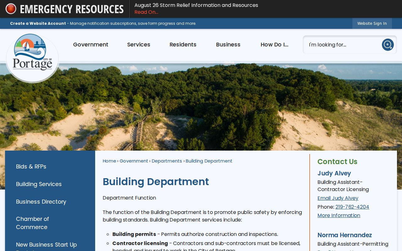
The city source complements postal verification with records tied to construction, inspection, and assigned addresses.
Portage ZIP Directory Context
Census QuickFacts reports 37,926 Portage residents in 2020 and an estimate of 38,634 for July 2025. Those figures describe city population, not the number of people in 46368 or a live directory count. ZIP tabulations and incorporated-city figures should not be merged.
Porter's current GIS layers update on a 24-hour cycle, while the city began a new comprehensive-plan process in 2026. Planning records may add or refine neighborhood terms. Save the date and source whenever a Portage ZIP code directory search depends on a live map or current plan.